
Watershed Planning
319 Nonpoint Source (NPS) Watershed Management Planning for the Lower Meramec Watershed
Introduction
The Lower Meramec Watershed is a vital natural resource located in eastern Missouri, flowing through parts of Jefferson, St. Louis, and Franklin counties. Covering approximately 700 square miles, this watershed is a crucial part of the region's environment, economy, and quality of life. It provides water for drinking, recreation, and supports a diverse range of wildlife. However, like many other watersheds across the United States, the Lower Meramec faces environmental challenges, including water quality degradation, flooding, habitat loss, and the impacts of urbanization.
To protect and restore the watershed, watershed management planning is essential to preserve the natural health of the watershed by providing voluntary management measures that can be implemented to minimize nonpoint source pollution while meeting the needs of the local communities. Effective watershed management involves collaboration among local governments, residents, environmental groups, businesses, and other stakeholders to improve water quality, reduce flooding, and protect ecosystems.
Open Space STL is currently updating the 319 NPS 2018 Kiefer Creek Nine Element Watershed Plan for Bacteria originally produced by East-West Gateway Council of Governments. This will help Open Space STL meet its long-term goal of planning and implementing water quality improvement projects to widely restore tributaries of the lower Meramec River to achieve and maintain water quality standards for all designated uses. This project is currently set to run from now through September 30, 2026 and will employ several strategies to achieve the overall goal through planning, implementation, public engagement, outreach and education, and monitoring and modeling efforts within the broader Hamilton Creek HUC 12 subwatershed (scroll down for more information about this subwatershed).
This project is partially funded by US EPA Region 7 through the Missouri Department of Natural Resources (subgrant number G24-NPS-04), under Section 319 of the Clean Water Act.

Goals of Watershed Management Planning
The overall goal of this and previous planning efforts is to achieve and restore the Meramec River and its tributary streams to water quality standards, and to maintain healthy streams throughout the Lower Meramec Watershed. Strong partnerships can establish the long-term framework for restoring the streams that are designated as impaired and protect the healthy sub-watersheds. Watershed management planning for the Hamilton Creek subwatershed seeks to address key environmental challenges while ensuring sustainable land and water use for future generations. Some of the primary goals of the planning process include:
Improving Water Quality: Enhancing water quality by reducing pollutants from urban runoff, agricultural practices, and wastewater discharges.
Reducing Flooding: Developing strategies to mitigate the impacts of flooding, including improvements to stormwater management systems and the restoration of natural floodplains.
Conserving Ecosystems: Protecting and restoring vital habitats, such as wetlands and riparian zones, to support biodiversity and protect endangered species.
Engaging the Public: Involving the community in conservation efforts through education, volunteerism, and partnerships.
Sustainable Land Use: Encouraging practices that minimize environmental degradation, such as erosion control and responsible development.

Key Issues Affecting the Hamilton Creek subwatershed:
The Lower Meramec Watershed faces several significant environmental issues that require attention and management to ensure its health and longevity:
Water Quality Concerns: The primary pollutants of concern that this Hamilton Creek HUC 12 subwatershed management plan will address are E. coli and Chloride. Within the Hamilton Creek subwatershed, the Meramec River tributaries, Antire Creek and Kiefer Creek and its tributary, Spring Branch, are identified as impaired for E. coli on the 2022 303(d) list. Kiefer Creek is identified as impaired for chloride on that list too. Urban and agricultural runoff, as well as wastewater discharges, contribute to nutrient pollution, particularly nitrogen and phosphorus. These pollutants can cause harmful algal blooms, which reduce oxygen levels in water, harming fish and other aquatic life. Addressing these pollutants is critical to restoring the watershed's water quality.
Flooding and Erosion: The development of impervious surfaces like roads and buildings increases runoff, leading to more frequent and severe flooding. In addition, erosion of stream banks and the loss of natural floodplains exacerbate the problem, damaging infrastructure and reducing water quality.
Loss of Habitat: Urbanization, land development, and agriculture have caused the destruction of wetlands and other critical habitats. These habitats are essential for supporting wildlife, such as migratory birds, fish, and other species that rely on clean water and healthy ecosystems.
Stakeholders in Watershed Management
Successful watershed management requires cooperation between a variety of stakeholders, each of whom plays a role in protecting the watershed:
Local Government: Local municipalities, counties, and cities play a key role in zoning, land-use planning, and implementing stormwater management regulations. Their actions are essential for reducing development-related impacts on the watershed.
Environmental Organizations: Non-governmental organizations (NGOs) and local advocacy groups work to raise awareness about watershed issues, restore habitats, and promote policies that protect water quality and biodiversity.
Residents and Landowners: Farmers, homeowners, and businesses are directly impacted by the health of the watershed. Through better land stewardship, such as reducing fertilizer use, planting cover crops, and maintaining riparian buffers, landowners can help protect water quality and prevent erosion.
State Agencies: Missouri's Department of Natural Resources (DNR), Department of Conservation (MDC), and other state agencies are responsible for monitoring water quality, enforcing environmental regulations, and providing technical and financial support for watershed restoration efforts.
Federal Partners: Agencies like the U.S. Environmental Protection Agency (EPA) and the U.S. Department of Agriculture (USDA) provide funding and regulatory support for large-scale watershed planning and management projects.
The first Open Space STL 319 Lower Meramec Hamilton Creek Subwatershed Stakeholder Engagement Planning Meeting was held on November 6, 2024 from 2:30 – 4:30 PM at the Wildwood Municipal Building as a kick-off to this planning effort with twenty-nine representatives attending. The minutes for that meeting can be viewed here.
If you would like to participate as a stakeholder in helping to develop the watershed management plan, please contact info@openspacestl.org.
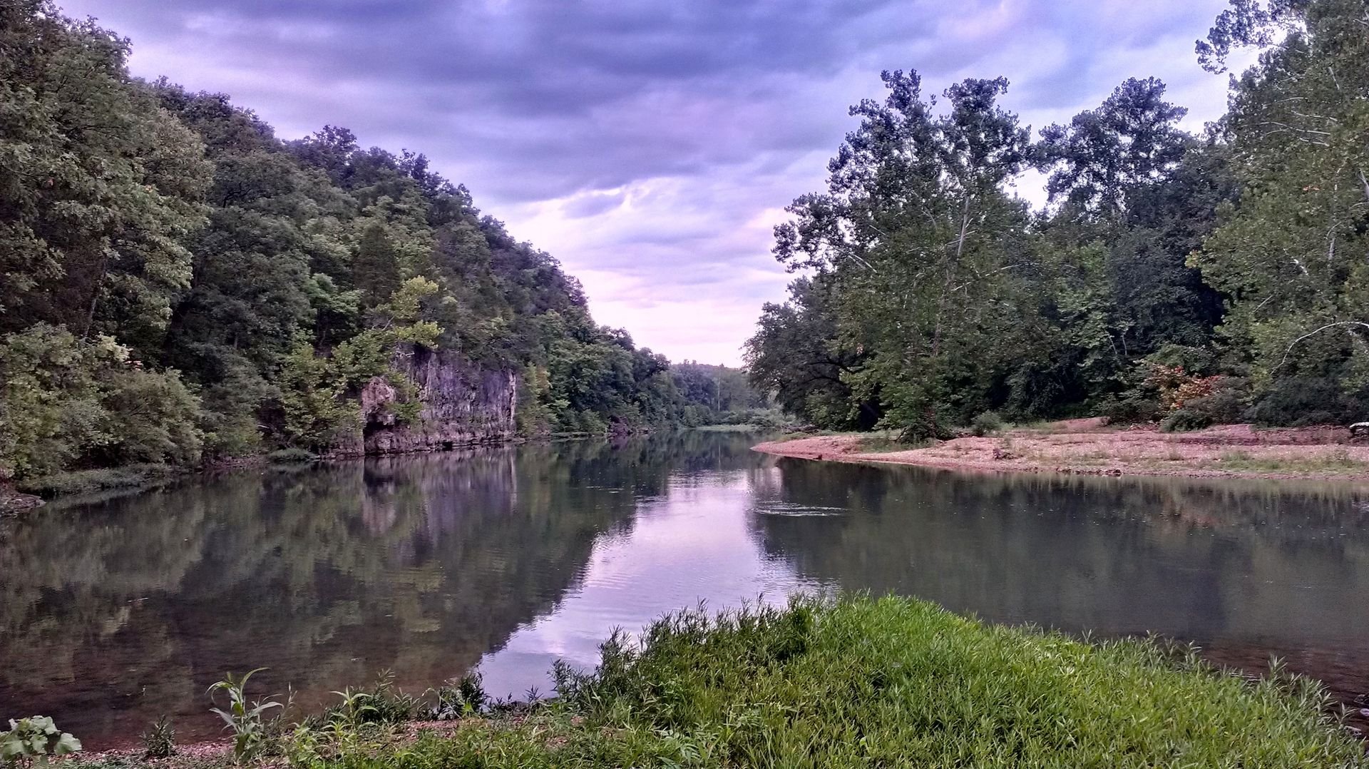
Hamilton Creek (071402021001)
The Hamilton Creek watershed is 34,956 acres or 54.6 square miles in size. The majority of the watershed is in southern St. Louis County and the remainder is in north central Jefferson County. Hamilton, Carr, Flat, Forby and Kiefer Creeks are north of the Meramec River. Carr Creek is a tributary of Hamilton Creek. Antire Creek is on the southern side of the Meramec River.
There also are tributaries to these creeks and smaller streams and land areas which drain directly to the Meramec River. Kiefer Creek enters the Meramec River in Castlewood State Park, 24 miles upstream of the confluence with the Mississippi River, Hamilton Creek enters the Meramec near the Glencoe area of Wildwood, 30 miles upstream, Flat Creek enters the Meramec in Eureka approximately 31 miles upstream, and Antire Creek enters the Meramec River near Route 66 State Park. Portions of Eureka, Wildwood, Ellisville, Ballwin and Byrnes Mill are in the Hamilton Creek watershed. Peaceful Village in Jefferson County is completely within this watershed. Unincorporated High Ridge is in the southern part of the watershed.